Log in
All resources
Create a design
1,095,880 Free Images of Maps Of Texel
maps in the library of congress
maps by joseph hutchins colton
david rumsey historical map collection
massachusetts
o. h. bailey
old maps of massachusetts
latin-language maps
1855 maps
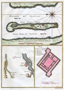
maps by jacques-nicolas bellin
jacques-nicolas bellin
old maps of switzerland
johannes ratelband
french-language maps
johannes ratelband
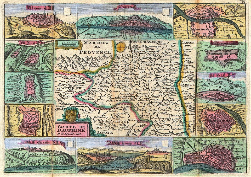
administrative history of france
johann baptist homann
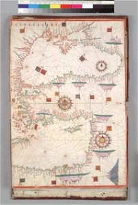
16th-century maps of the black sea
coats of arms on maps
david rumsey historical map collection
joan blaeu
johann baptist homann
ships on maps
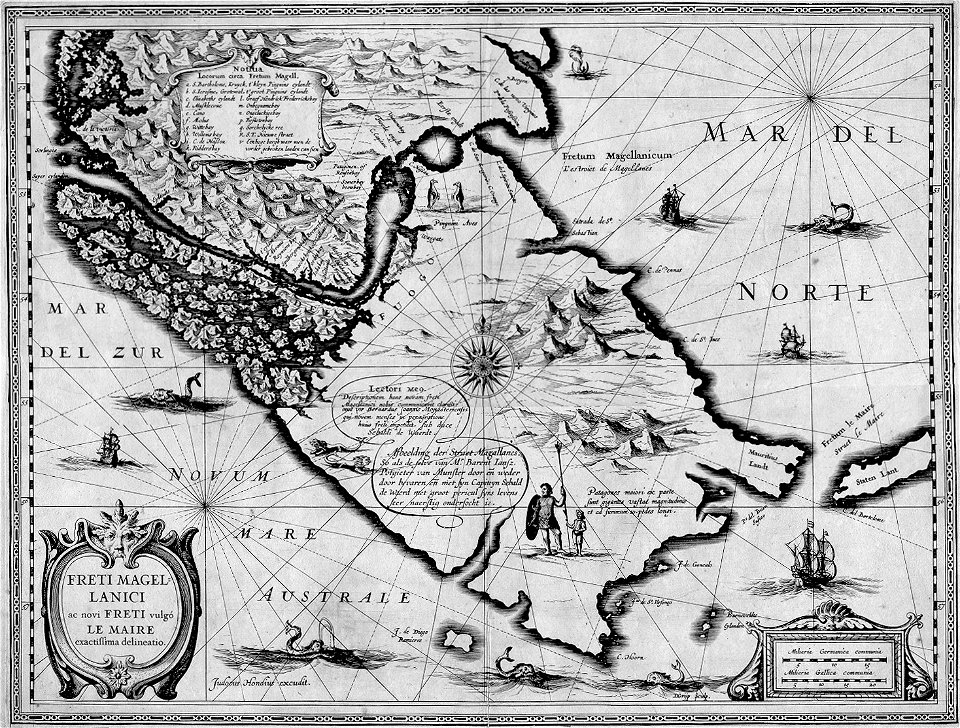
maps by jodocus hondius
1628 maps
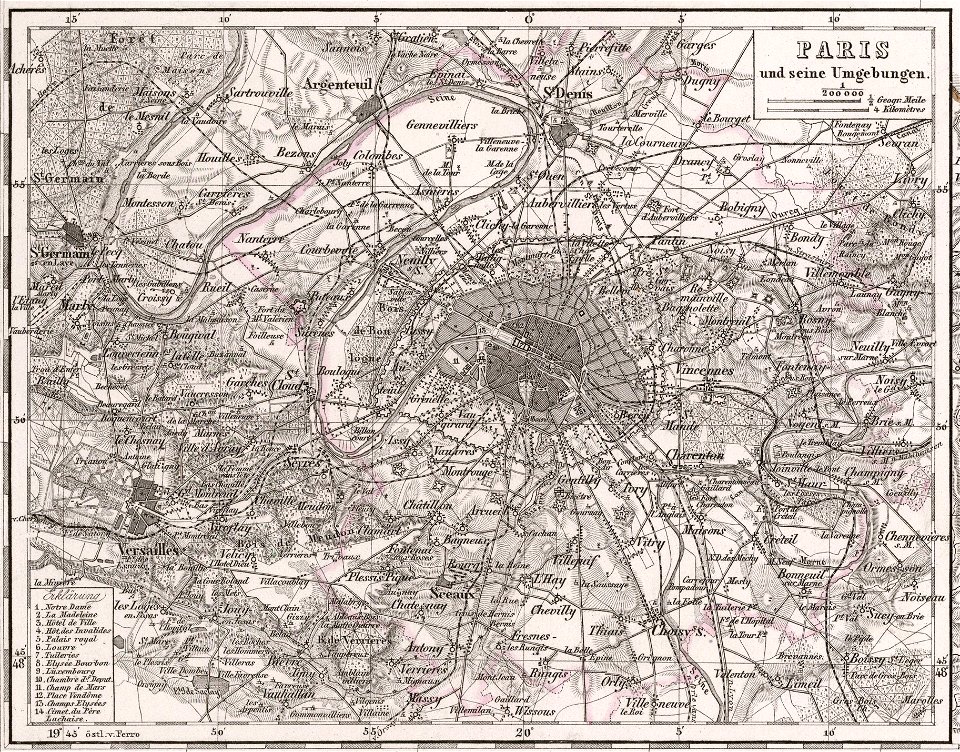
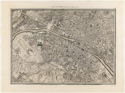
maps of paris from the david rumsey historical map collection
1854 maps
david rumsey historical map collection
german-language maps
maps of paris from the david rumsey historical map collection
1866 in paris
maps of paris from the david rumsey historical map collection
1873 in paris
david rumsey historical map collection
j. and p. knapton
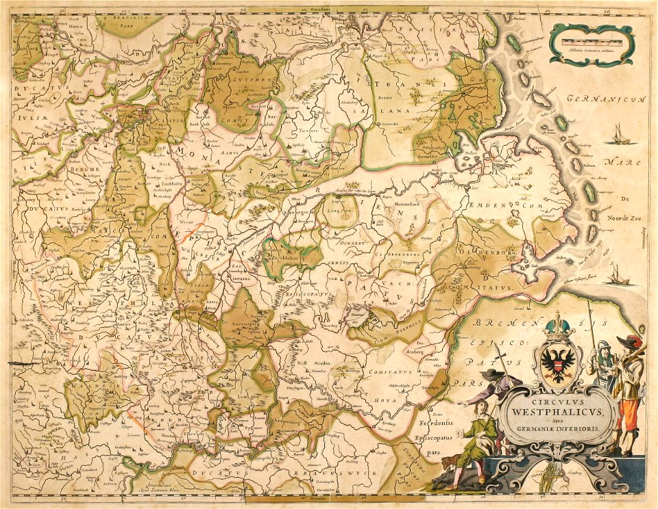
old maps of north rhine-westphalia
maps by willem and johannes blaeu
english-language maps
1776 maps
historical coats of arms of denmark
royal coats of arms of sweden
maps of the county of flanders
old maps of flanders
maps of the canton of solothurn
old maps of switzerland
maps made in the 17th century
gerard valck
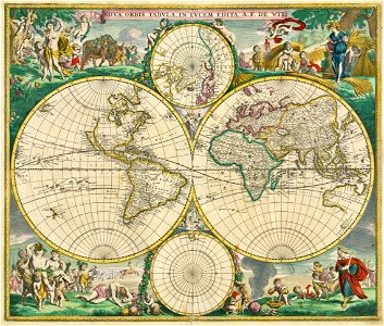
double hemisphere world maps
maps by frederick de wit
old maps of earth's hemispheres
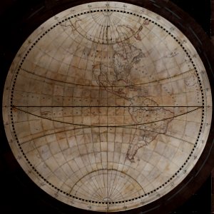
western hemisphere
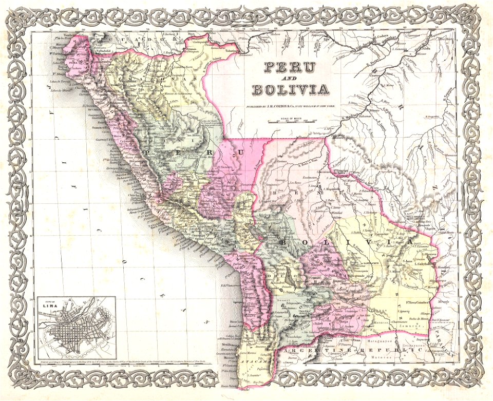
old maps of peru
1855 maps
old maps of charleston
south carolina
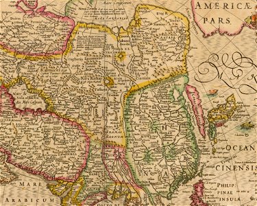
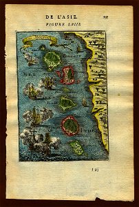
17th-century maps of china
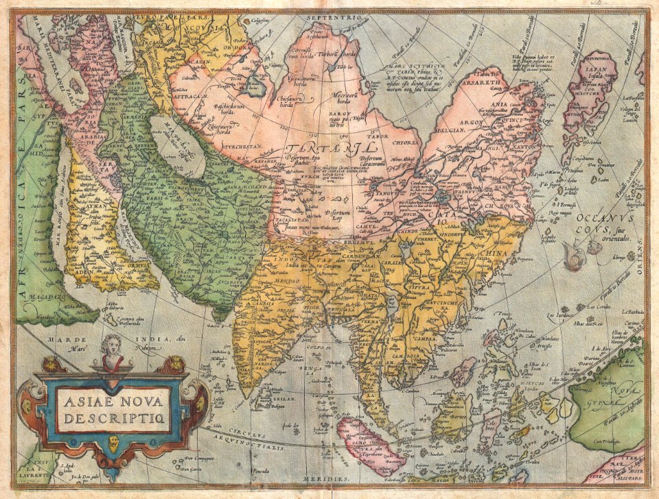
old maps of asia
maps by jacques-nicolas bellin
french-language maps of china
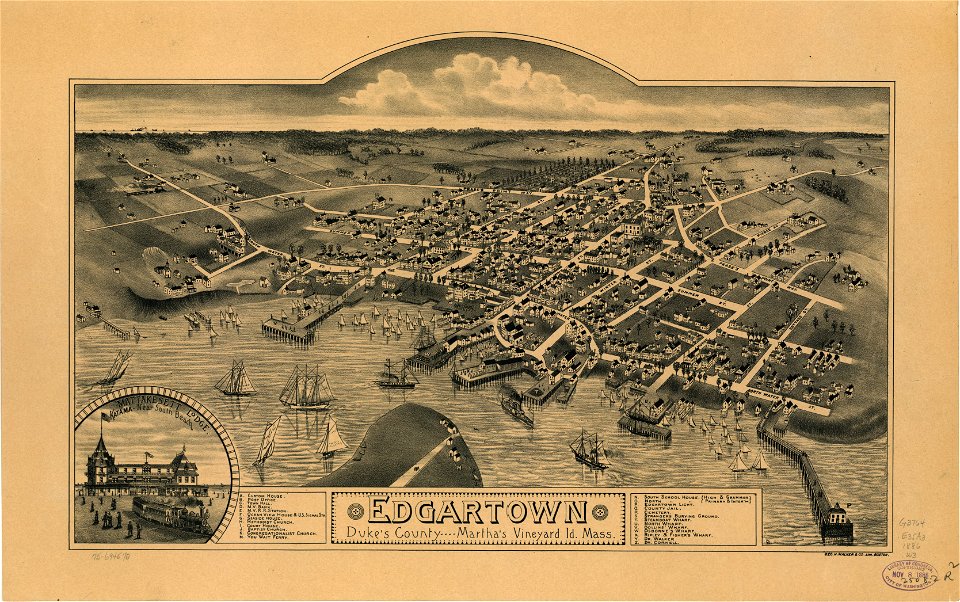
old maps of massachusetts
martha's vineyard
old maps of massachusetts
martha's vineyard
joan blaeu
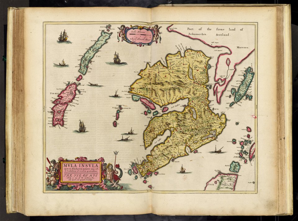
scotland
maps by willem and johannes blaeu
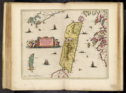
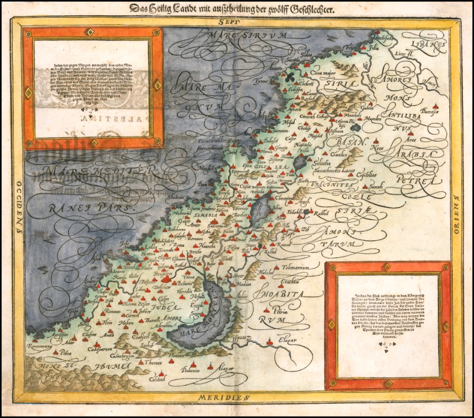
old maps of israel
maps in the library of congress
new york
1850s maps of chicago
missouri
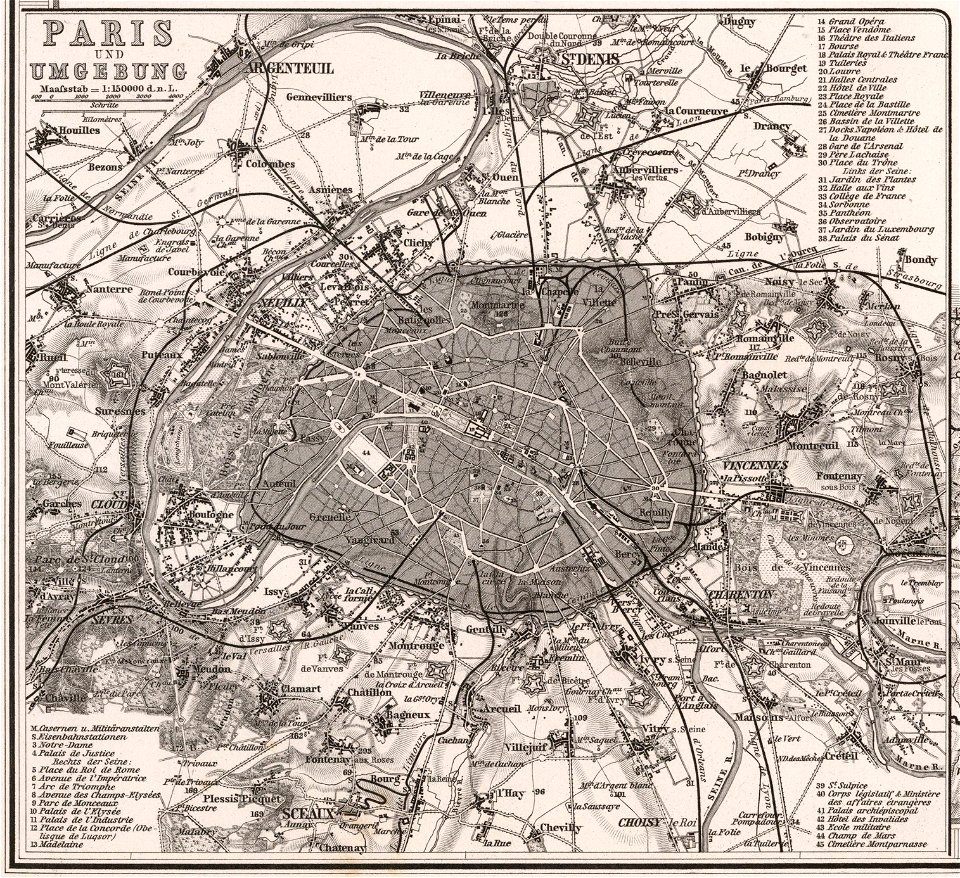
maps of paris from the david rumsey historical map collection
1863 maps
david rumsey historical map collection
j. and p. knapton
kandahar province
j. and p. knapton
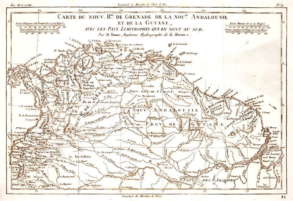
maps by jacques-nicolas bellin
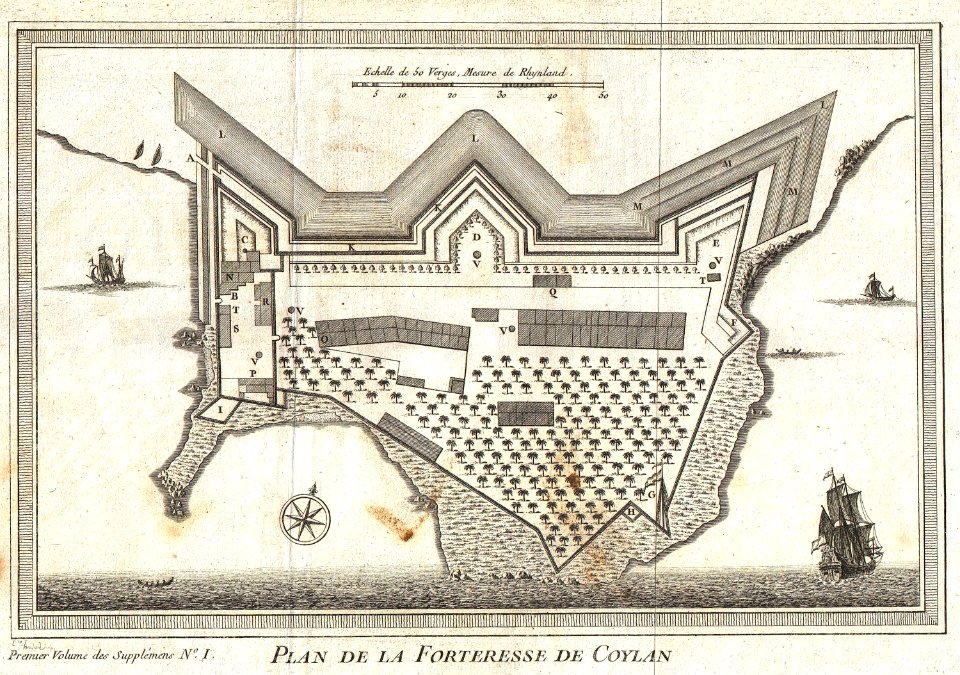
kollam
early modern netherlandish cartography
maps with cartouches
double hemisphere world maps
copper engraving
old maps of japan
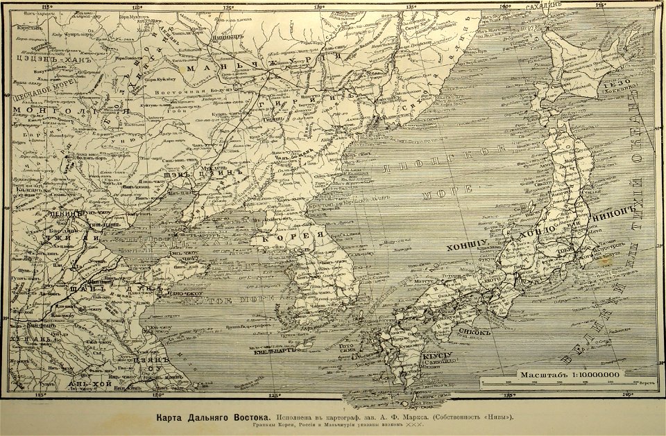
1904
18th-century maps of brazil
1780 in south america
coats of arms of augsburg
braun & hogenberg
illustrations of cosmographia (münster)
extra-ptolemaic maps of scandinavia
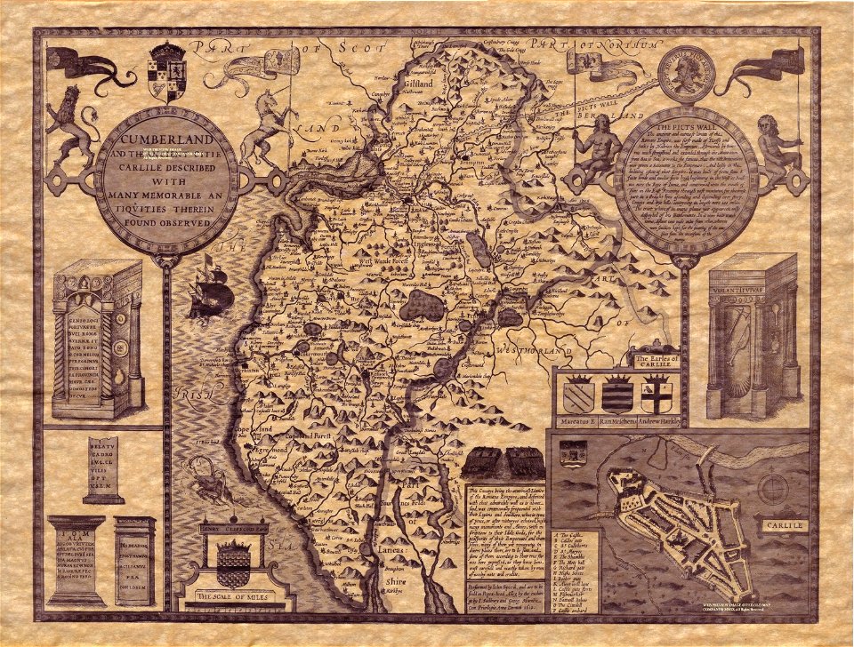
county maps of england by john speed
old county maps of cumberland
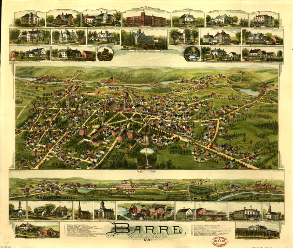
massachusetts
o. h. bailey
massachusetts
o. h. bailey
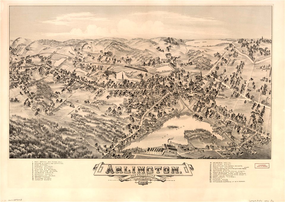
massachusetts
o. h. bailey
massachusetts
o. h. bailey
massachusetts
o. h. bailey
maps in the library of congress
washington
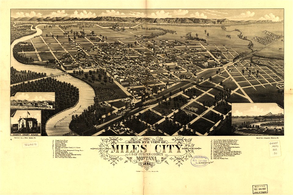
miles city
montana
maps in the library of congress
washington
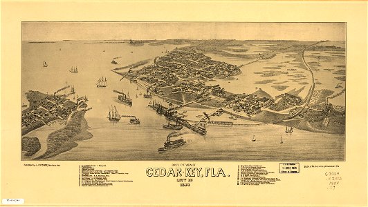
cedar key
florida
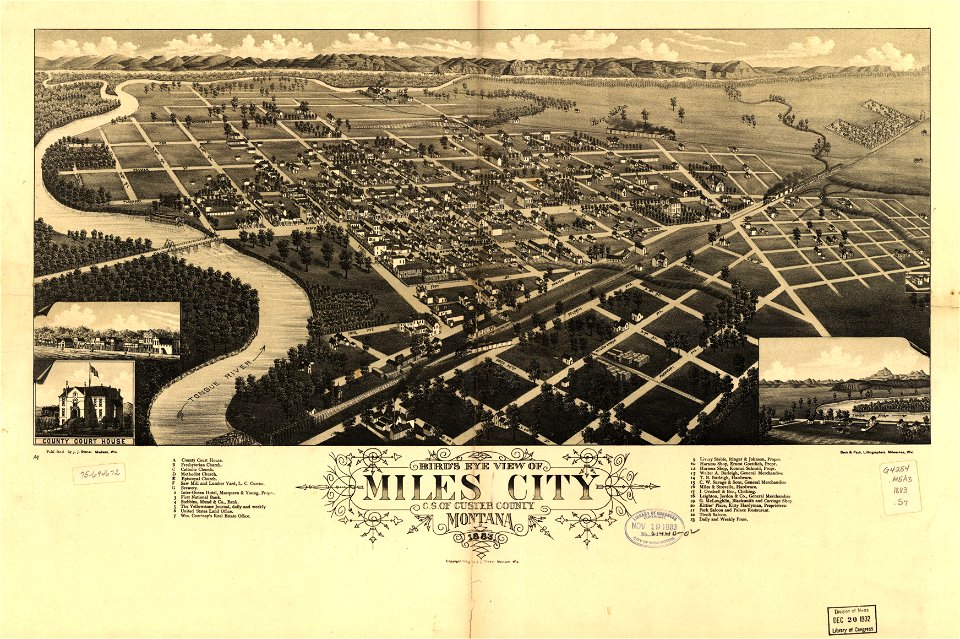
miles city
montana
cedar key
florida
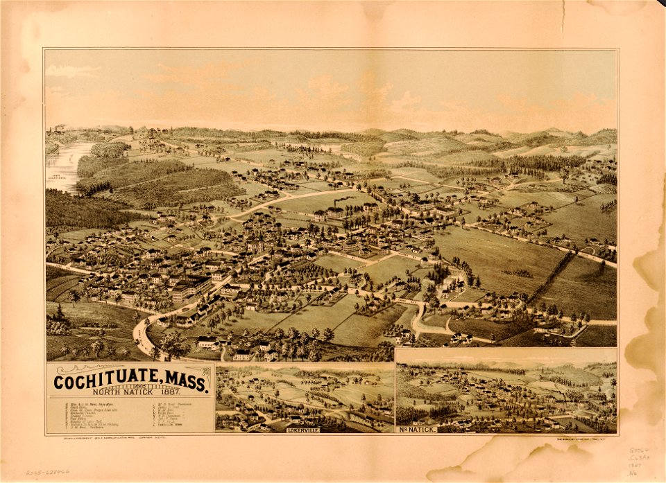
massachusetts
natick
massachusetts
natick
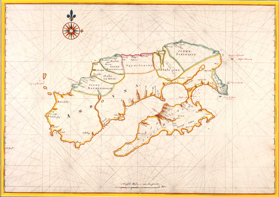
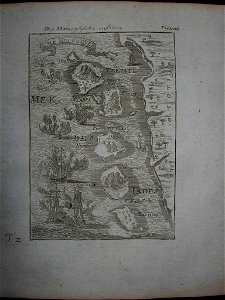
17th-century maps of indonesia
1665
old maps of massachusetts
o. h. bailey
old maps of massachusetts
o. h. bailey
massachusetts
o. h. bailey
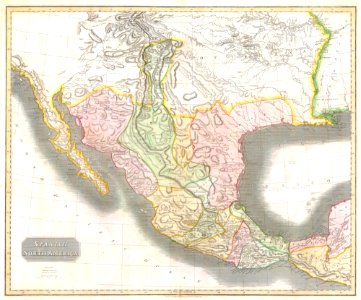
1810s maps of mexico
1814 in mexico
17th-century maps of indonesia
description de l'universe
18th-century maps of indonesia
description de l'universe
maps of paris from paris musées
plan de roussel
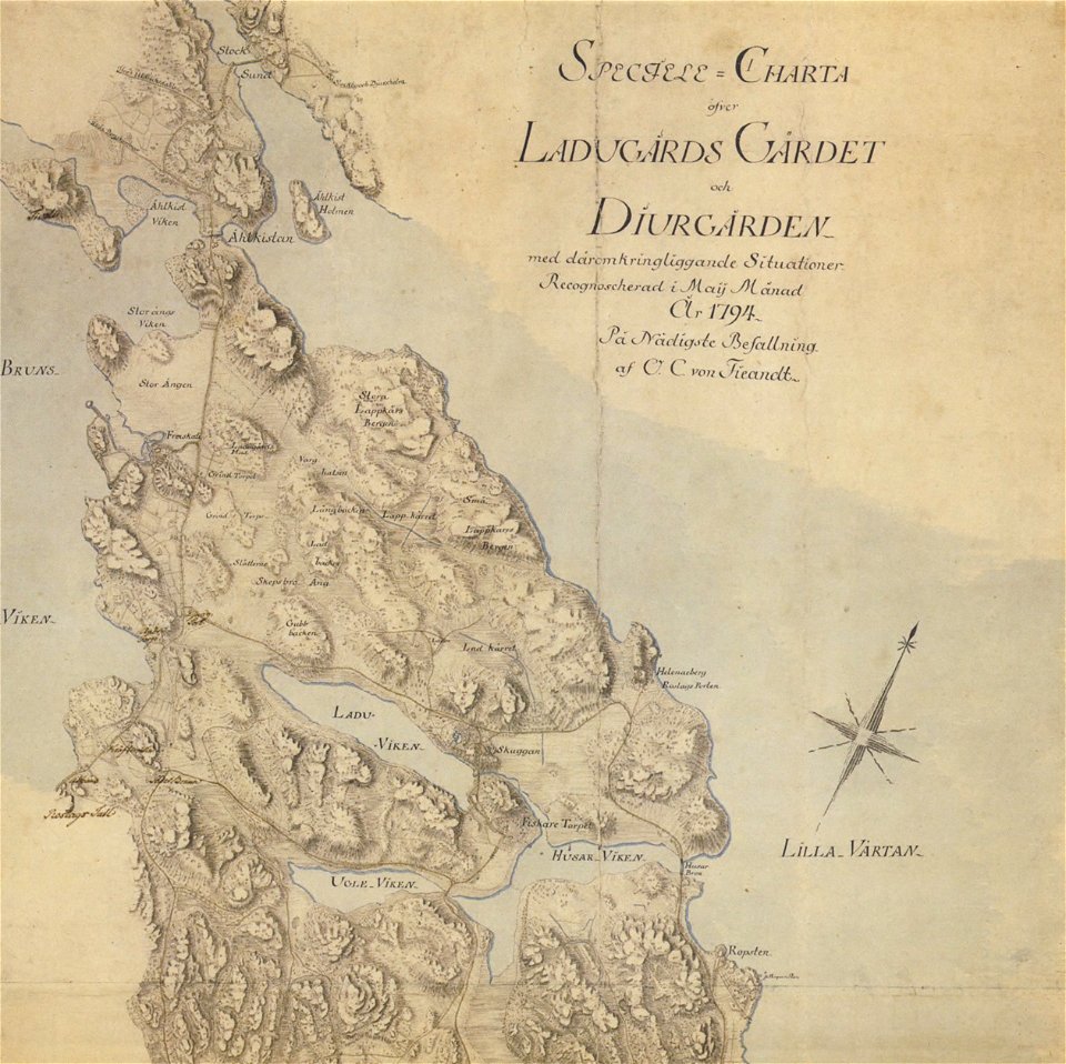
18th-century maps of stockholm
maps of gärdet
1780 maps of pennsylvania
1780 maps of new jersey
prints from bonne atlas de toutes les parties at the peace palace library
1780 maps of canada
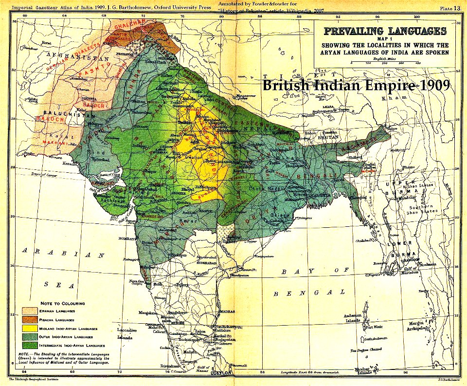
old maps of the indian subcontinent
maps of british india
maps by willem and johannes blaeu
latin-language maps
old maps of pernambuco
1665
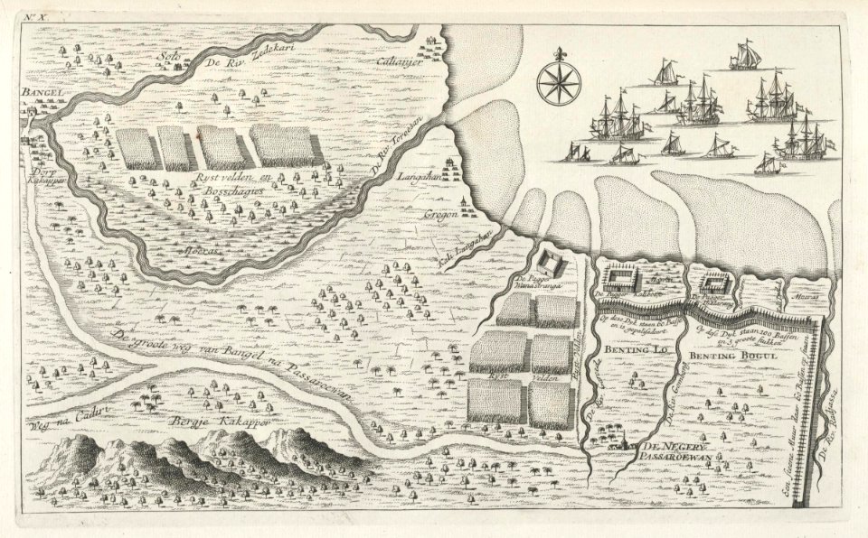
maps of the dutch east india company - indonesia
maps of east java
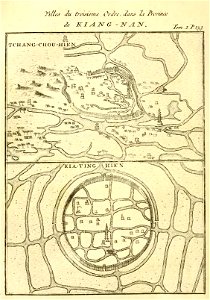
french-language maps of china
changzhou
elburg
wesel
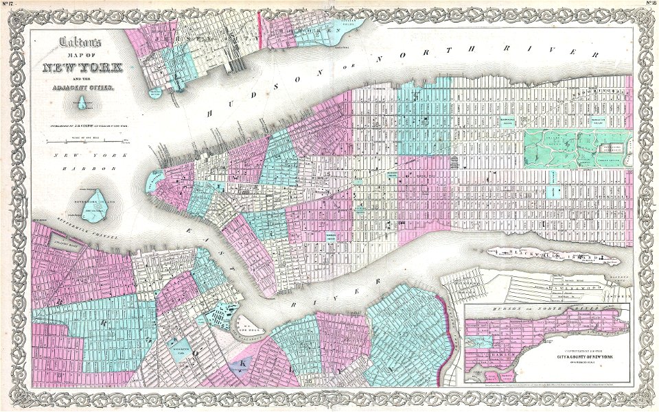
old maps of manhattan
new york city
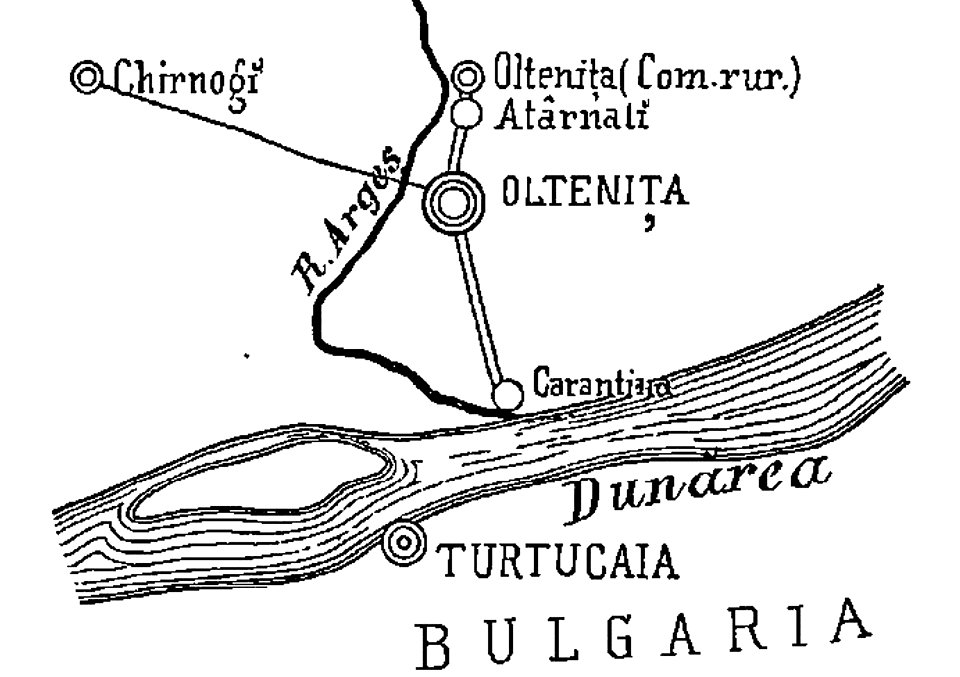
quarantine facilities in romania
1895 in romania
old maps of manhattan
new york city
old maps of new york city
english-language maps
maps by jacques-nicolas bellin
1750 maps
david rumsey historical map collection
j. and p. knapton
old maps of new york city
1865 maps
old maps of the austrian empire
1855 maps
19th-century maps of central america
1855 maps
old maps of new york city
1855 maps
19th-century maps of london
1855 maps
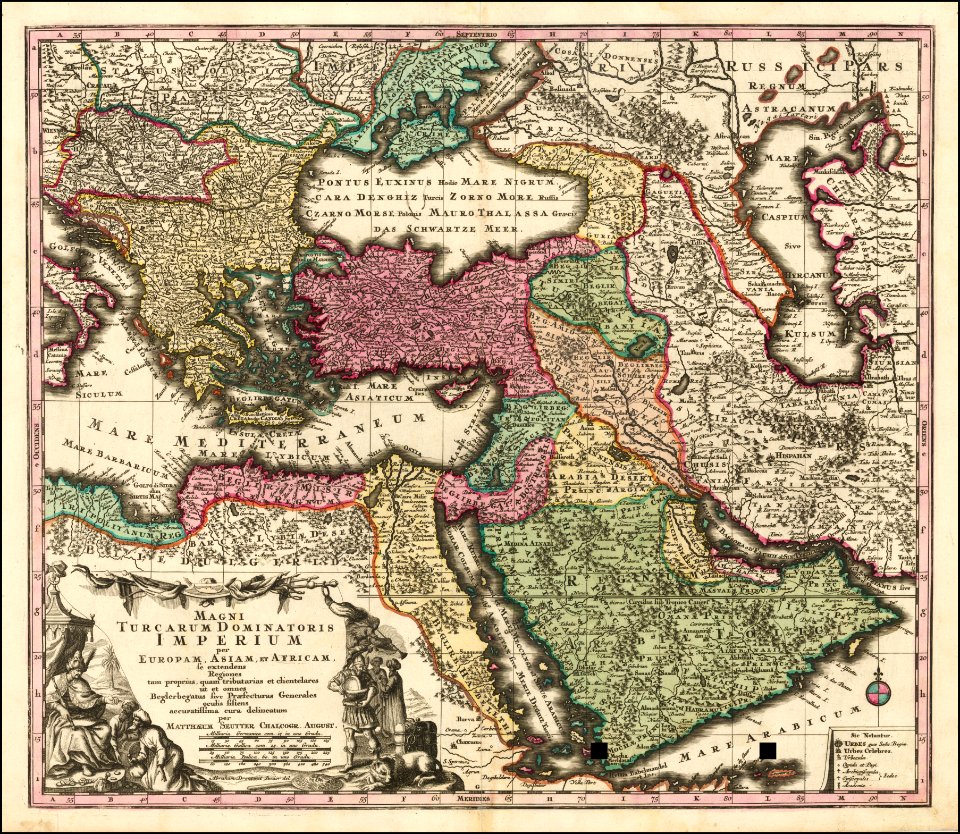
maps by matthäus seutter
latin-language maps
maps by matthäus seutter
latin-language maps
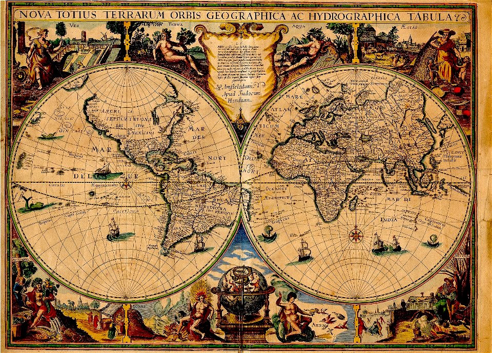
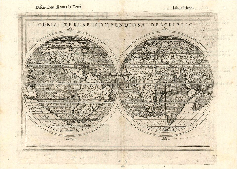
double hemisphere world maps
1590s maps of the world
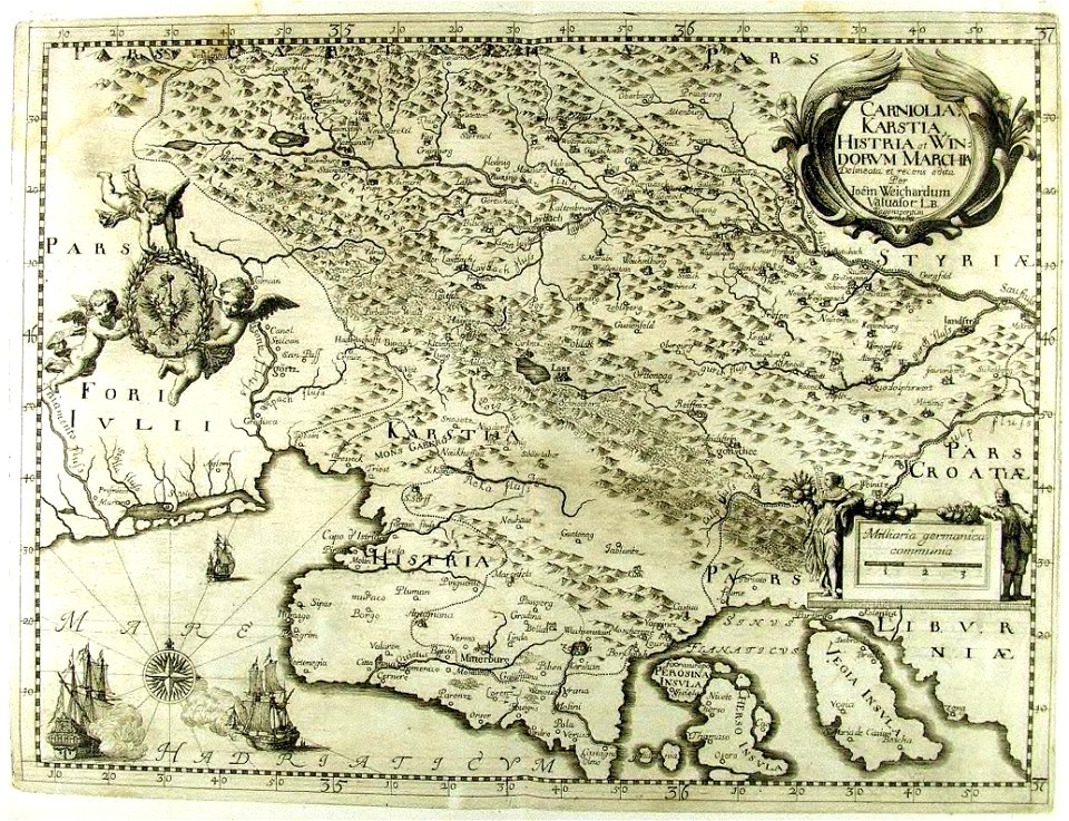
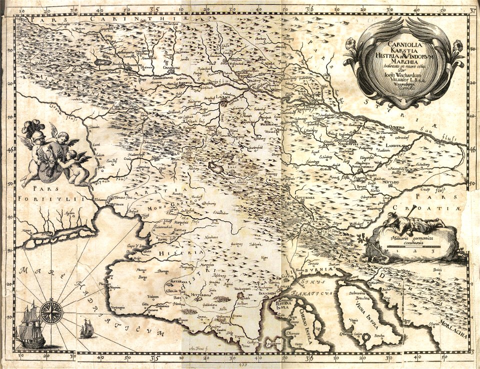
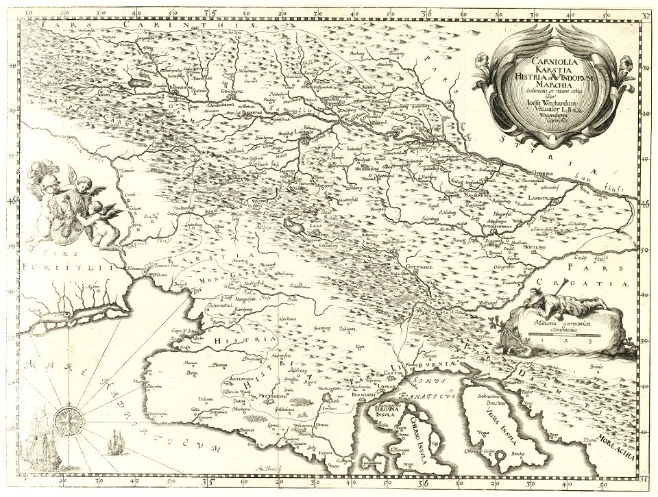
17th-century maps of slovenia
1689 maps
17th-century maps of slovenia
1689 maps
17th-century maps of slovenia
1689 maps
17th-century maps of slovenia
1681 maps
maps by sebastian münster
german-language maps
maps in the biblioteca federiciana
old maps of marche
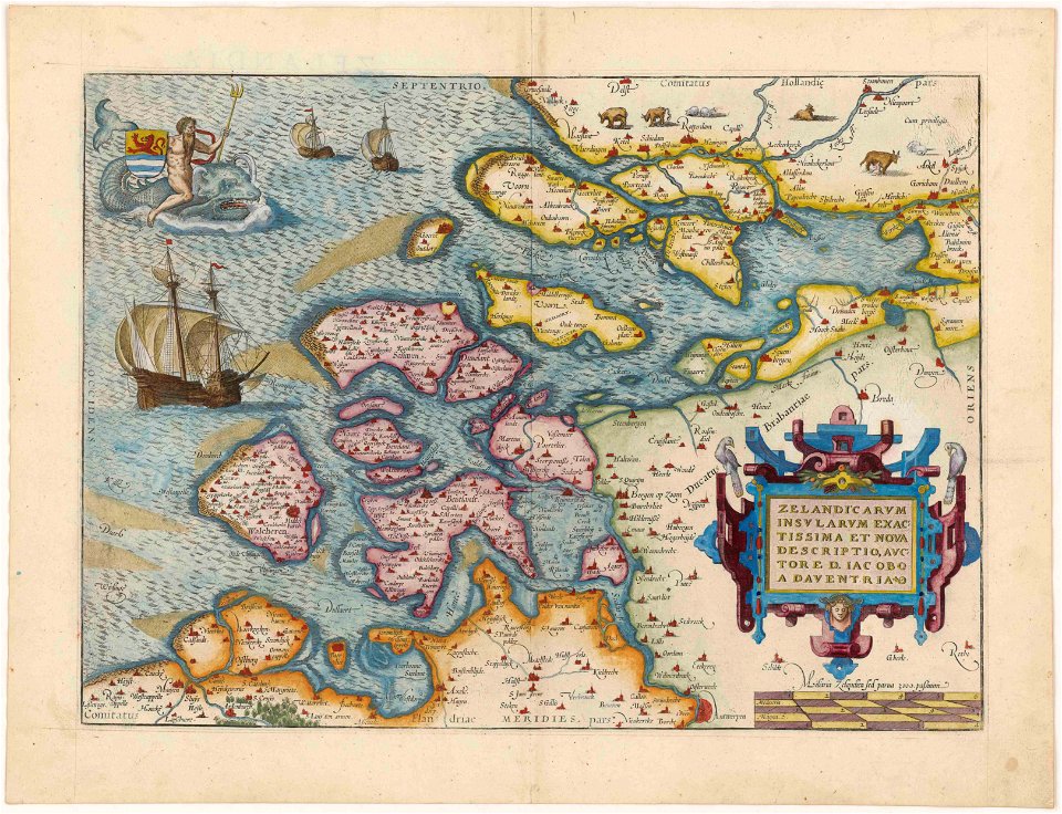
maps by abraham ortelius
old maps of zeeland
maps by willem and johannes blaeu
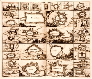
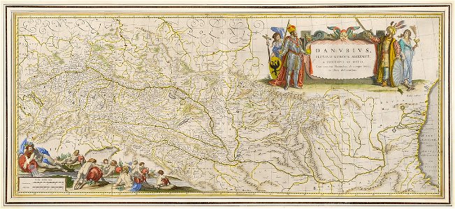
old maps of the danube
images from the new york public library
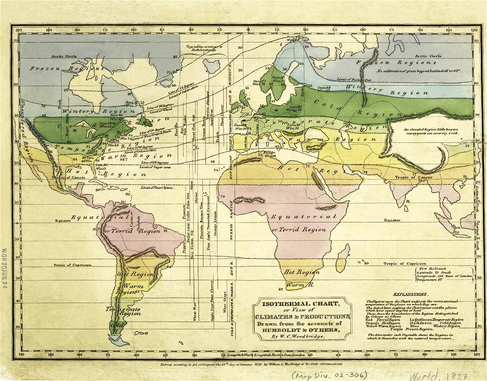
old weather and climate maps
images from the new york public library
old weather and climate maps
maps by jacques-nicolas bellin
german-language maps
maps by jacques-nicolas bellin
jacques-nicolas bellin
maps by jacques-nicolas bellin
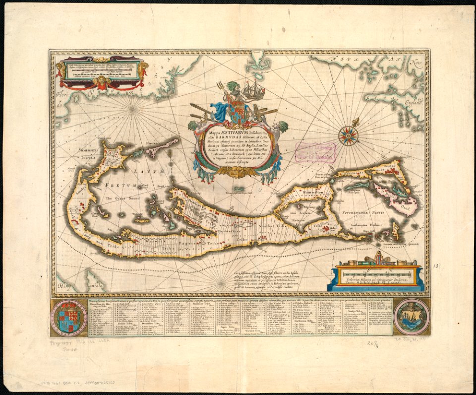
old maps of saint lucia
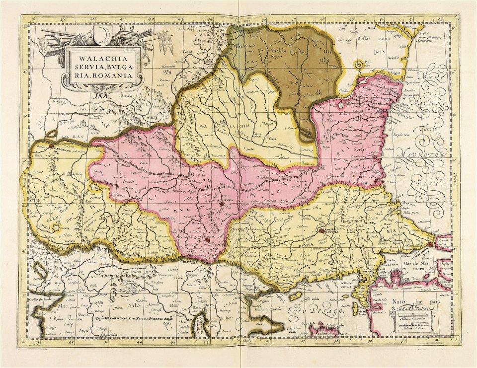
maps of romania
gerard valck
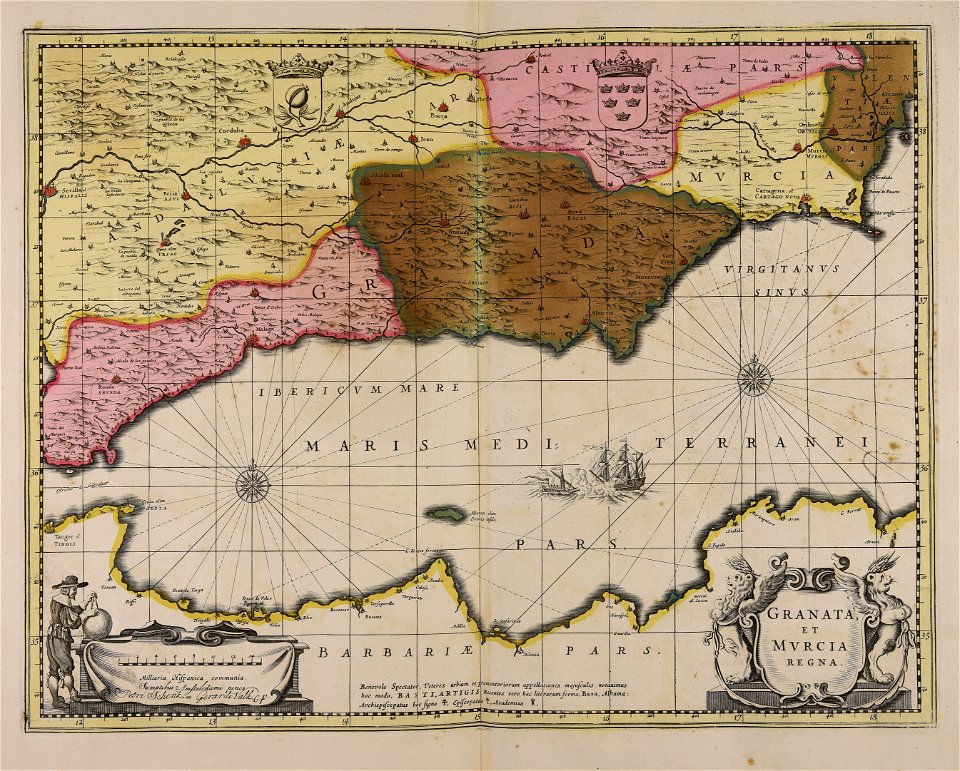
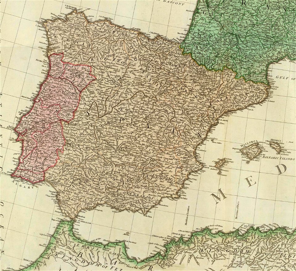
old maps of the iberian peninsula
1780s maps of spain
1601 - 1700 of 1,095,880
Next page
/ 10959